WunderBlog Archive » Category 6™
Category 6 has moved! See the latest from Dr. Jeff Masters and Bob Henson here.Icy Weekend for Central Plains; La Niña’s Days Are Numbered
Near-record levels of moisture for January will be flowing toward the Central Plains this weekend atop a paper-thin cold air mass at the surface--a classic set-up for widespread freezing rain. Ice storm warnings were in place Friday morning along a strip from northwest Oklahoma to southwest Illinois. These warnings indicate that enough freezing rain is expected in the next 12 to 36 hours (typically 1/4” to 1/2”, depending on location) to cause significant problems. Freezing rain advisories for lesser accumulations flanked the south side of the ice-storm-warning belt from the Texas Panhandle all the way to western Virginia, and winter storm warnings for a mix of frozen precipitation extended to the north of the ice storm warning from eastern Colorado to western Illinois. See the WU severe weather page for state-by-state warning roundups.
Ground Zero for the worst icing is likely to run from northwest Oklahoma into western Kansas, where the swath of heavy rain associated with an upper-level low moving through on Saturday night and Sunday will intersect with ground-level temperatures just cold enough for the rain to freeze. Odds are that some parts of the area will experience at least 0.5” of ice accumulation, according to the National Weather Service (see Figure 1). Travel could be quite rough for people heading to Kansas City, MO, for the pro-football playoff game on Sunday between the Pittsburgh Steelers and Kansas City Chiefs. An ice storm warning is in effect till midnight Sunday night. It appears that temperatures above freezing will sweep north across the city during the day on Sunday, but as with football, timing is everything.

Figure 1. The highest odds for at least 0.5” of freezing rain accumulations this weekend (from 6:00 AM CST Friday, January 13 to 6 AM CST Monday, January 16) are across western and central Kansas, where some areas have a better-than-70% chance. Image credit: NWS Weather Prediction Center.
How long can the surface cold last?
A big limiting factor that could keep this ice storm short of widespread devastation is the steady erosion of the surface cold air mass expected this weekend. There’s little push behind the cold air mass at this point, while southerly winds just above the surface will be intensifying throughout the weekend. Thus, most of the ice-affected areas will transition to milder temperatures by the end of the storm. The rain itself will help warm up the surface air mass by releasing heat as it freezes and by pulling down warmer air from above, especially where it’s raining the hardest. Thunderstorms could develop as far north as Kansas by late Saturday, and there’s even a slight chance of severe weather over parts of west Texas on Sunday, according to NOAA’s Storm Prediction Center.
Ice storms aren’t uncommon in the central states in midwinter, but the degree of warmth and moisture flowing atop this one is quite unusual. The 06Z Friday run of the NAM model projected that the amount of water in a column above the surface (precipitable water, or PW) will be close to record levels for January in some of the ice-affected areas, especially as the storm shifts to a non-frozen rain event. Here are some of the peak NAM-predicted ranges compared to January records in radiosonde databases that extend back to the mid-20th century:
Amarillo, TX: 0.80” - 0.90” (Jan. record 0.84”)
Dodge City, KS: 0.80” - 0.90” (Jan. record 0.85”)
North Platte, NE: 0.55” - 0.65” (Jan. record 0.65”)
Topeka, KS: 0.90 - 1.00” (Jan. record 1.08”)
Omaha, NE: 0.80” - 0.90” (Jan. record 0.95”)

Figure 2. Winds about a mile above sea level (850 mb) will bring very moist air for midwinter into the Southern and Central Plains this weekend. By 6:00 PM CST Saturday, the amount of precipitable water through the depth of the atmosphere will be 4 to 6 standard deviations above average in the blue-shaded areas. Image credit: tropicaltidbits.com.
The ground is well above freezing across much of Oklahoma, with soil temperatures Friday morning between 35°F and 45°F, so it’s quite possible that icing in central Oklahoma will be more prominent on bridges and overpasses, trees, and power lines than on roads, especially toward the southern parts of the affected areas. The radius of ice accumulation on items such as limbs and power lines is typically about 20% to 40% of the total amount of rain that falls during an ice storm, according to a recent Weather and Forecasting paper by meteorologists Kristopher Sanders and Brian Barjenbruch (NWS/Topeka, KS).
Power outages may affect many thousands of people across the Central Plains this weekend--and these can take days to repair, especially if they’re widespread. Fortunately, the odds of widespread inch-or-more ice accumulations seen in the worst ice storms (see this weather.com roundup for graphic examples) appear to be on the low side. “While this storm will not likely be equivalent to the catastrophic ice events of the past 16 years, it'll be bad enough,” predicts Oklahoma-based meteorologist Jim Ladue.
Warmest Inauguration Day on record? It’s possible
In the wake of the ice storm, westerly Pacific flow will sweep across the nation, bringing a sharp mid-January warm-up to most areas east of the Rockies. Readings of 20°F - 30°F above average will be widespread, with temperatures above 50°F possible as far north as Michigan and New York by next weekend.

Figure 3. As of Friday morning, January 13, 2017, WU’s forecast for Ronald Reagan Washington National Airport is for temperatures in the mid-50s around noon on Friday, January 20.
Presidential inaugurations were held on March 4 from 1793 until 1937, when the date was shifted to January 20 (when those dates fell on Sundays, the inaugurals occurred a day later, as was the case in 2013). Capital Weather Gang notes that, perhaps surprisingly, the highest midday temperature recorded for any inauguration was just 55°F, measured at noon on both March 4, 1913 (Woodrow Wilson) and January 20, 1981 (Ronald Reagan). In records going back to 1872, daily highs in D.C. have been as high as 70°F on January 20 (in 1950) and 82°F on March 4 (in 1983), but since inaugurals happen only every four years, the historical temperature range for these events is quite constricted. WU’s most recent forecast for Washington, D.C., is for a noontime temperature around 56°F on Friday, January 20. There is inherent imprecision in a 7-day temperature forecast, but the basic outlook for a warm inaugural--perhaps the warmest on record, apart from out-of-season swearings-in--appears quite solid.
So long, La Niña
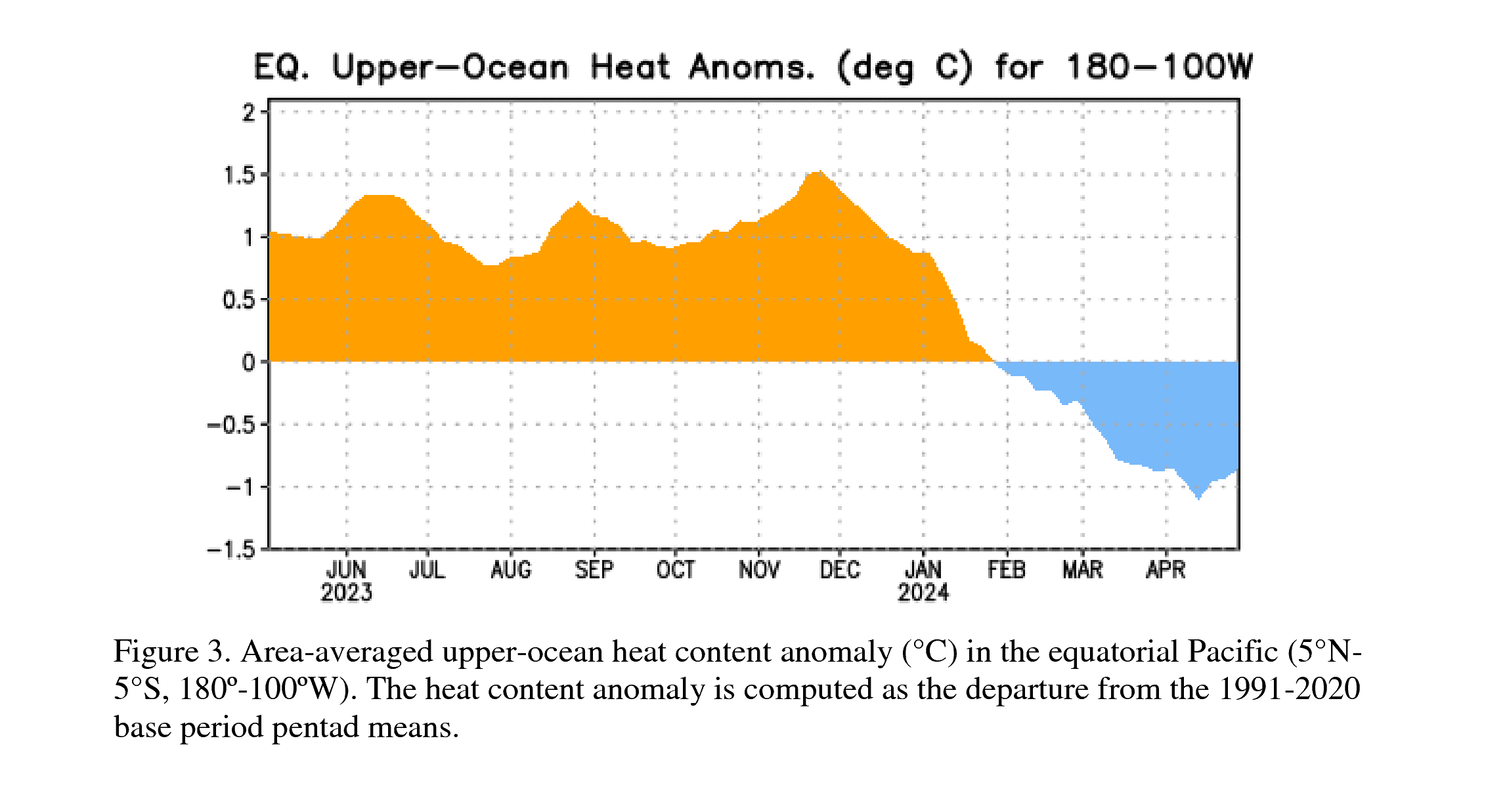
In its latest monthly advisory, issued Thursday, NOAA’s Climate Prediction Center all but sounded the death knell for the 2016-17 La Niña. Sea surface temperatures in the benchmark Niño3.4 region have remained in the weak range for La Niña (0.5°C to 1.0°C below the seasonal average), and the subsurface cold relative to average across the equatorial Pacific has almost completely vanished. In a new ENSO Blog entry, NOAA/CPC’s Emily Becker reviews global weather conditions and how they’ve stacked up against La Niña expectations (fairly well, especially for temperature).
Models are close to unanimous in bringing the Niño3.4 region into the neutral range over the next couple of months. There are some model indications of a weak El Niño kicking in by summer 2017. That wouldn’t shock me, given the continued predominance of a positive Pacific Decadal Oscillation. Positive PDOs are associated with a higher frequency of El Niño events, and the PDO has now been in positive territory in each month from January 2014 through December 2016—the first time this has happened across three consecutive calendar years in records that go back to 1900. Even so, NOAA’s Emily Becker isn’t ready to predict a 2017-18 El Niño: “A three-year series of El Niño/La Niña/El Niño has only happened once since 1950, in 1963/1964/1965. This doesn’t make it impossible that El Niño could develop, but it means that we aren’t counting on it.”
We’ll be back with a new post on Monday. Have a safe weekend, everyone!
Bob Henson

Figure 4. One of the worst ice storms in the region’s history struck northeast TX, southeast OK, Arkansas, and northern LA in late December 2000, knocking out power to more than half a million people. J.D. Willhelm took this shot in Fort Smith, Arkansas, the day after Christmas. “If you don’t think people sweat during this kind of weather you should have seen the folks in the house below this tree,” he wrote. “Fortunately the tree survived but many in the area didn’t.” Image credit: wunduerphotographer JDWillhelm.
Ground Zero for the worst icing is likely to run from northwest Oklahoma into western Kansas, where the swath of heavy rain associated with an upper-level low moving through on Saturday night and Sunday will intersect with ground-level temperatures just cold enough for the rain to freeze. Odds are that some parts of the area will experience at least 0.5” of ice accumulation, according to the National Weather Service (see Figure 1). Travel could be quite rough for people heading to Kansas City, MO, for the pro-football playoff game on Sunday between the Pittsburgh Steelers and Kansas City Chiefs. An ice storm warning is in effect till midnight Sunday night. It appears that temperatures above freezing will sweep north across the city during the day on Sunday, but as with football, timing is everything.
Figure 1. The highest odds for at least 0.5” of freezing rain accumulations this weekend (from 6:00 AM CST Friday, January 13 to 6 AM CST Monday, January 16) are across western and central Kansas, where some areas have a better-than-70% chance. Image credit: NWS Weather Prediction Center.
How long can the surface cold last?
A big limiting factor that could keep this ice storm short of widespread devastation is the steady erosion of the surface cold air mass expected this weekend. There’s little push behind the cold air mass at this point, while southerly winds just above the surface will be intensifying throughout the weekend. Thus, most of the ice-affected areas will transition to milder temperatures by the end of the storm. The rain itself will help warm up the surface air mass by releasing heat as it freezes and by pulling down warmer air from above, especially where it’s raining the hardest. Thunderstorms could develop as far north as Kansas by late Saturday, and there’s even a slight chance of severe weather over parts of west Texas on Sunday, according to NOAA’s Storm Prediction Center.
Ice storms aren’t uncommon in the central states in midwinter, but the degree of warmth and moisture flowing atop this one is quite unusual. The 06Z Friday run of the NAM model projected that the amount of water in a column above the surface (precipitable water, or PW) will be close to record levels for January in some of the ice-affected areas, especially as the storm shifts to a non-frozen rain event. Here are some of the peak NAM-predicted ranges compared to January records in radiosonde databases that extend back to the mid-20th century:
Amarillo, TX: 0.80” - 0.90” (Jan. record 0.84”)
Dodge City, KS: 0.80” - 0.90” (Jan. record 0.85”)
North Platte, NE: 0.55” - 0.65” (Jan. record 0.65”)
Topeka, KS: 0.90 - 1.00” (Jan. record 1.08”)
Omaha, NE: 0.80” - 0.90” (Jan. record 0.95”)
Figure 2. Winds about a mile above sea level (850 mb) will bring very moist air for midwinter into the Southern and Central Plains this weekend. By 6:00 PM CST Saturday, the amount of precipitable water through the depth of the atmosphere will be 4 to 6 standard deviations above average in the blue-shaded areas. Image credit: tropicaltidbits.com.
The ground is well above freezing across much of Oklahoma, with soil temperatures Friday morning between 35°F and 45°F, so it’s quite possible that icing in central Oklahoma will be more prominent on bridges and overpasses, trees, and power lines than on roads, especially toward the southern parts of the affected areas. The radius of ice accumulation on items such as limbs and power lines is typically about 20% to 40% of the total amount of rain that falls during an ice storm, according to a recent Weather and Forecasting paper by meteorologists Kristopher Sanders and Brian Barjenbruch (NWS/Topeka, KS).
Power outages may affect many thousands of people across the Central Plains this weekend--and these can take days to repair, especially if they’re widespread. Fortunately, the odds of widespread inch-or-more ice accumulations seen in the worst ice storms (see this weather.com roundup for graphic examples) appear to be on the low side. “While this storm will not likely be equivalent to the catastrophic ice events of the past 16 years, it'll be bad enough,” predicts Oklahoma-based meteorologist Jim Ladue.
Warmest Inauguration Day on record? It’s possible
In the wake of the ice storm, westerly Pacific flow will sweep across the nation, bringing a sharp mid-January warm-up to most areas east of the Rockies. Readings of 20°F - 30°F above average will be widespread, with temperatures above 50°F possible as far north as Michigan and New York by next weekend.
Figure 3. As of Friday morning, January 13, 2017, WU’s forecast for Ronald Reagan Washington National Airport is for temperatures in the mid-50s around noon on Friday, January 20.
Presidential inaugurations were held on March 4 from 1793 until 1937, when the date was shifted to January 20 (when those dates fell on Sundays, the inaugurals occurred a day later, as was the case in 2013). Capital Weather Gang notes that, perhaps surprisingly, the highest midday temperature recorded for any inauguration was just 55°F, measured at noon on both March 4, 1913 (Woodrow Wilson) and January 20, 1981 (Ronald Reagan). In records going back to 1872, daily highs in D.C. have been as high as 70°F on January 20 (in 1950) and 82°F on March 4 (in 1983), but since inaugurals happen only every four years, the historical temperature range for these events is quite constricted. WU’s most recent forecast for Washington, D.C., is for a noontime temperature around 56°F on Friday, January 20. There is inherent imprecision in a 7-day temperature forecast, but the basic outlook for a warm inaugural--perhaps the warmest on record, apart from out-of-season swearings-in--appears quite solid.
So long, La Niña
In its latest monthly advisory, issued Thursday, NOAA’s Climate Prediction Center all but sounded the death knell for the 2016-17 La Niña. Sea surface temperatures in the benchmark Niño3.4 region have remained in the weak range for La Niña (0.5°C to 1.0°C below the seasonal average), and the subsurface cold relative to average across the equatorial Pacific has almost completely vanished. In a new ENSO Blog entry, NOAA/CPC’s Emily Becker reviews global weather conditions and how they’ve stacked up against La Niña expectations (fairly well, especially for temperature).
Models are close to unanimous in bringing the Niño3.4 region into the neutral range over the next couple of months. There are some model indications of a weak El Niño kicking in by summer 2017. That wouldn’t shock me, given the continued predominance of a positive Pacific Decadal Oscillation. Positive PDOs are associated with a higher frequency of El Niño events, and the PDO has now been in positive territory in each month from January 2014 through December 2016—the first time this has happened across three consecutive calendar years in records that go back to 1900. Even so, NOAA’s Emily Becker isn’t ready to predict a 2017-18 El Niño: “A three-year series of El Niño/La Niña/El Niño has only happened once since 1950, in 1963/1964/1965. This doesn’t make it impossible that El Niño could develop, but it means that we aren’t counting on it.”
We’ll be back with a new post on Monday. Have a safe weekend, everyone!
Bob Henson
Figure 4. One of the worst ice storms in the region’s history struck northeast TX, southeast OK, Arkansas, and northern LA in late December 2000, knocking out power to more than half a million people. J.D. Willhelm took this shot in Fort Smith, Arkansas, the day after Christmas. “If you don’t think people sweat during this kind of weather you should have seen the folks in the house below this tree,” he wrote. “Fortunately the tree survived but many in the area didn’t.” Image credit: wunduerphotographer JDWillhelm.
Four maps to watch as the winter event unfolds. Find them in the Mesonet app and on https://t.co/lsuJKJidax #okwx pic.twitter.com/pYvUmqfGjw
— Oklahoma Mesonet (@okmesonet) January 13, 2017
Winter Weather El Niño La Niña
The views of the author are his/her own and do not necessarily represent the position of The Weather Company or its parent, IBM.